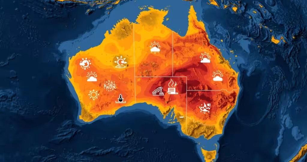

Australia is experiencing high pressure conditions that are bringing warm temperatures across the states of South Australia, Victoria and Tasmania, as the mercury is currently five to seven degrees higher than its average April temperatures.
In Melbourne, the temperature range for the coming five days will be 24 to 26 °C, which is significantly higher than the city’s normal April temperature, which is 20.4 degrees.
Adelaide will experience even higher temperatures, with temperatures ranging from 27 to 29 °C in a state where the normal temperatures in April range from 22.2 degrees.
Tasmania’s capital city, Hobart, will have five consecutive days of temperatures 20°C or more, with an expected peak on Friday of 25 degrees, while the average April temperatures are 17.5 degrees.
Tech News: Tim Cook to step down as Apple CEO after nearly 15 years at the helm
The guilty party is a typical fall pattern. Northerly winds around this high pressure system are drawing warm air southwards from the interior of the continent, and the pattern is likely to continue for several days as the system drifts east.
The New South Wales coast and some parts of Tasmania will receive scattered showers, while most affected areas will experience warm conditions and dry weather.
Australia is not all enjoying this hot weather in Western Australia, for instance, there was a cold front that came through the southwest last night causing some showers and temperature fall.
On the other hand, the southern winds coming from the low pressure trough in the Tasman sea are causing cooler than normal coastal areas in NSW.
This comes following the recent warmer than expected season experienced this autumn.
The Bureau of Meteorology predicted in their seasonal outlook issued in early March that there will be warmer than expected days and nights this autumn throughout Australia and very high chances of very warm days especially on the eastern and western sides.
More News: Older Australians Were About to Pay $50 Every Time They Showered
Some models predict that we could have El Nino conditions develop around June.
This week’s heat follows a stormy summer for much of the country.
Southeastern Australia’s hottest heatwave in six years hit in January, with Melbourne and Sydney temperatures above 40°C and even hotter in regional Victoria and New South Wales.
A World Weather Attribution study found that climate change made the event about 1.6°C hotter and about five times more likely than it would have been without human caused warming.
For now, the advice to residents across the southern states is simple: enjoy the late season warmth while it lasts, stay hydrated and watch fire conditions, especially in areas still carrying dry vegetation from a below average rainfall season.