
Queenslanders are being encouraged to ready themselves for more wet weather, as a tropical low in the Coral Sea continues to make its way towards the state, potentially brewing into a cyclone later this week.
The tropical low, named 29U is currently situated a little more than 500 kilometers northeast of Cairns and is expected to make landfall around the middle of the day on Friday, according to the Bureau of Meteorology.
Tropical low is expected to bring heavy rainfall, flooding and potentially high winds in the coming days, but there is also a moderate possibility that the low could develop into a tropical cyclone.
Latest News: Markets, oil shock fears loom over Trump as Iran war drags on
The watch area, as designated by the BOM extends from Cooktown to Lucinda and includes areas such as Cairns, Port Douglas, Innisfail, Cardwell and Palm Island.
Roads in the Hinchinbrook Shire were closed following falls of more than 285 mm between Sunday and Monday, while some Far North locations recorded more than 200 mm in the 24 hours leading up to Monday morning.
Additionally, the bureau has maintained warnings for a number of river catchments and issued a flood watch for the North Tropical Coast and the York Peninsula in the western Cape.
As the likelihood of a cyclone increased, Bureau forecaster Morgan Pumper told ABC that the system was predicted to move southwest: “We can see it moving over the coast later this week.
Bureau has cautioned that the low may still produce hazardous weather over a large area even if it remains below cyclone strength.
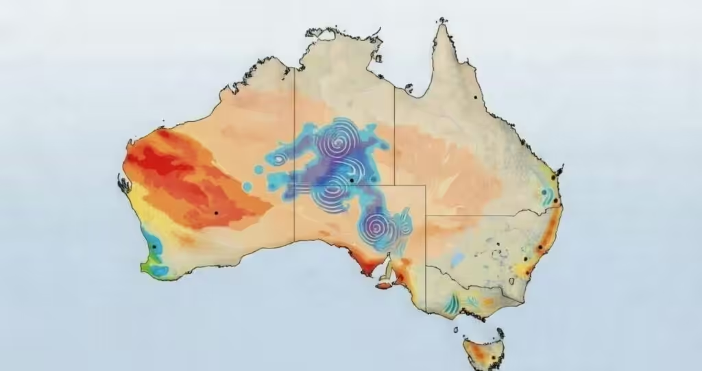
The emerging threat on the coast comes as the slow moving floodwaters continue to impact the west of the state.
Communities such as Bedourie and Birdsville have experienced isolation risks as floodwaters continue to spread across the flat terrain, with Premier David Crisafulli stating that resources are being pre positioned to resupply and assist with the response.
The information service in Queensland encouraged people to follow official advice and avoid driving through floodwaters, reminding people to contact the SES on 132 500 for non urgent storm and flood assistance.