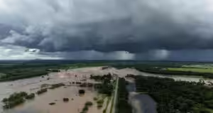

As the wet weather moves south through the Northern Territory and into South Australia, it is predicted to hit a large area of inland Australia with a new burst of heavy rain starting on Saturday.
This could increase the risk of flooding and cut off remote communities.
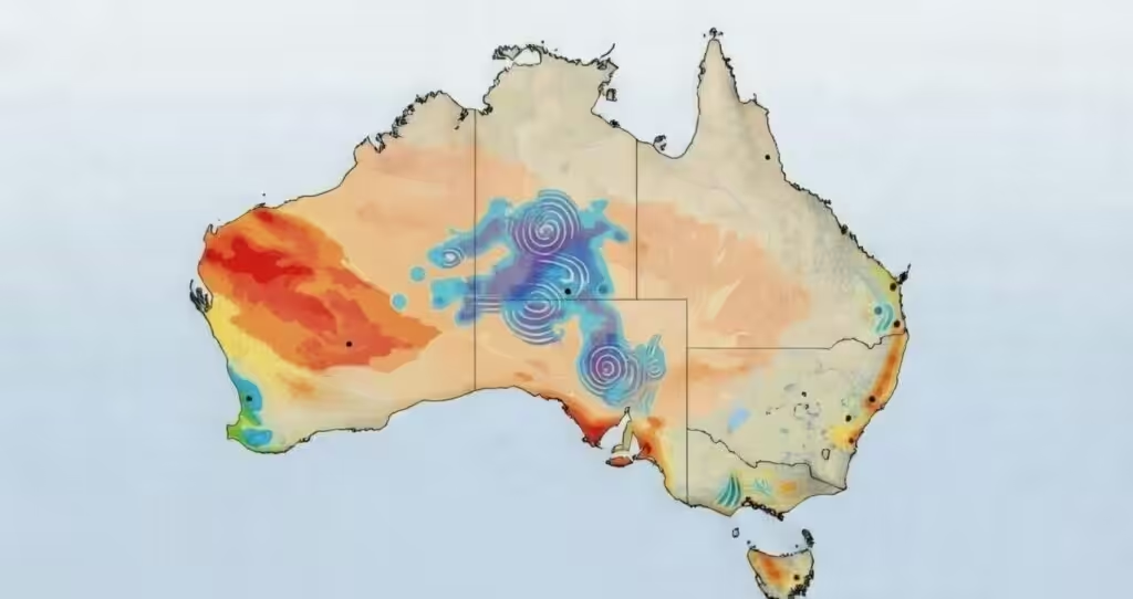
According to forecast modeling, the interior will see widespread totals of between 80 and 150 mm, with pockets expected to reach roughly 200 mm over the next few days.
Depending on where a developing low and storm bands form, forecasters have also warned of the possibility of isolated falls of 300 mm or more.
For portions of the Northern Territory’s Eastern, Central and Western Inland regions, the Bureau of Meteorology has issued a flood watch, alerting people to the possibility of river rises and flooding from Saturday through the beginning of next week.
The MacDonnell Ranges, the Simpson Desert, the southern Barkly district, the Georgina River and Eyre Creek, the Finke River and Stephenson Creek and other regions are highlighted.
Parts of central and northeastern South Australia are also under a separate flood watch, with flooding being reported starting on Sunday.
The Finke and Simpson Desert regions, the Flinders Ranges rivers and creeks, the North West Lake Torrens, the Warburton River, Cooper Creek, Lake Eyre, Lake Frome and Lake Gairdner are among the catchments mentioned.
Forecasts indicate that by Tuesday or Wednesday, Kati Thanda Lake Eyre may receive between 100 and 300 mm of rain, which could cause infrequent inflows from several directions.
Because heavy falls are likely to impact outback roads and rail corridors as the system tracks through, authorities have advised travelers to closely monitor warnings and road conditions.
“More showers and storms are predicted over the next few days, which may cause renewed river level rises and prolonged flooding,” the Bureau of Meteorology stated in an update.