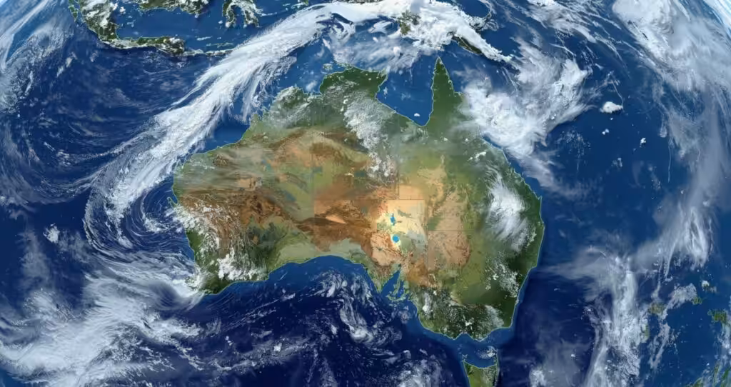

Heavy snow, gales, and rainfall are expected to affect parts of the southeast in Australia soon, providing the first taste of the season to residents in Victoria, New South Wales, and Tasmania.
The current weather forecast suggests a period of relative calm will give way soon after a stationary high pressure system dominated much of the Australian weather during which cold fronts could not reach many parts of the country.
However, according to the forecasters, changes in the prevailing system will lead to the formation of another system that is likely to be characterized by rains, thunderstorms, snow and severe gusty winds in the southeast and southwest of the country.
Weatherzone, suggested a change in weather systems will cause dynamic weather conditions in south Australian regions.
The timing and intensity of the systems are still being developed by experts. The chill will be most pronounced in Alpine areas.
Snow is forecast for the higher peaks of the Victorian Alps, Snowy Mountains and Tasmania’s central highlands, with blizzard conditions possible on the most exposed ground.
The cold blast comes just weeks out from the official start of the snow season on Saturday 6 June, and follows an earlier dusting in May that briefly whitened resort slopes and prompted damaging wind warnings.
For lower areas, the issues relate more to rain and wind rather than snow.
Also Read: Warm Tasman Sea hands Sydney a late autumn reprieve before winter sets in
Strong winds can cause trees to fall as well as power lines, and heavy rains increase the possibility of flash floods.
This forecast contrasts with what may be expected during the rest of the year.
The Bureau of Meteorology suggests that this winter will be dryer than usual in most of southeastern Australia.
Rainfall during June August is anticipated to be less than average in eastern New South Wales, most of Victoria, Southern South Australia and eastern Tasmania.
It has also been emphasized that a cold spell does not necessarily reflect the entire winter period.
Around the country, sea surface temperatures are still warmer than normal, including the Tasman Sea, which supplies moisture and energy for weather systems when the conditions are right.
The bureau has identified early signs that the El Nino Southern Oscillation could move towards El Nino during winter, a pattern usually associated with drier conditions in eastern Australia.
For now, residents across the Southeast are being told to get ready for a big change.
If damaging winds, heavy rain or severe storms are likely to develop, the bureau will issue severe weather warnings.